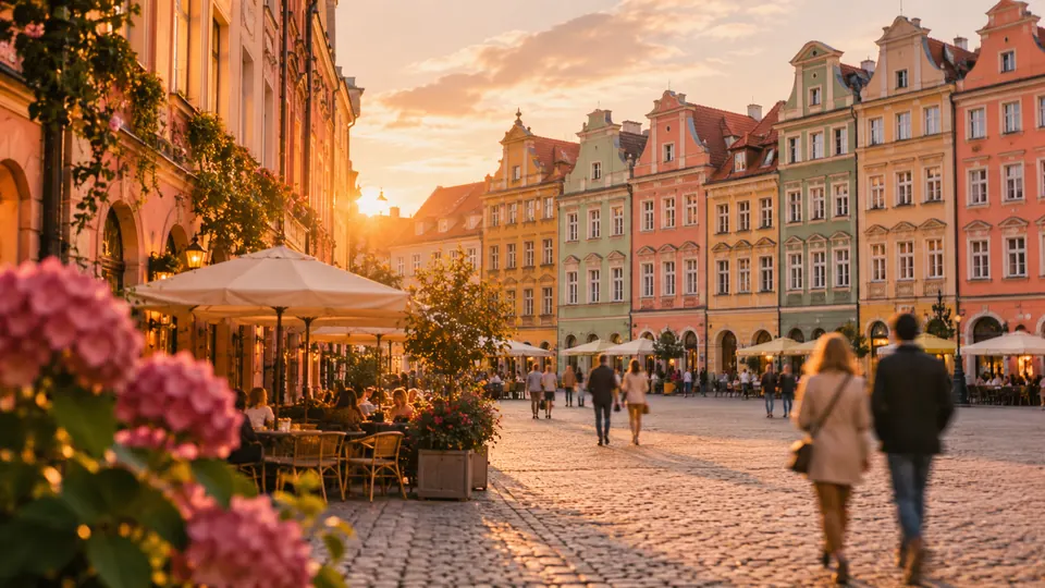
Wrocław.
Wrocław on foot: 17 places explained, 3 routes drawn on real streets, 4 districts and the essentials for getting around. Sources are cited on every page.
- 17
- places
- 3
- routes
- 4
- districts
The essentials
Numbers refer to the map of places


How we work
A guide to read while walking: every place has its story, every route follows real streets.
Where to stay
Recommended districts to stay within walking distance
- NadodrzeBooking.comHotels.com
- DowntownBooking.comHotels.com
- Old TownBooking.comHotels.com
- Przedmieście OławskieBooking.comHotels.com
Partner links: via.city may earn a commission, at no extra cost to you.
Where to start
Distances measured along the line; times are walking time only, without visits.
Map of places


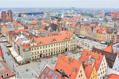
- 1Market SquareSquares and streets
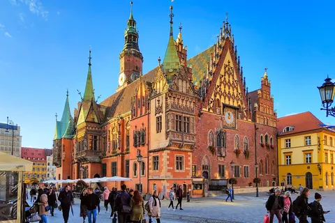
- 2Wrocław Town HallMonuments
- 3Racławice PanoramaMuseums
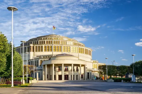
- 4Centennial HallMonuments
- 5Wrocław CathedralChurches and chapels
- 6Cathedral IslandMonuments
- 7University of WrocławMuseums
- 8OssolineumMuseums
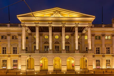
- 9Wrocław OperaShows
- 10St. Elizabeth’s ChurchChurches and chapels
- 11Cathedral of St. Mary MagdaleneChurches and chapels
- 12Tumski BridgeMonuments
- 13Szczytnicki ParkGardens
- 14Wrocław Market HallMarkets
- 15National Museum in WrocławMuseums
- 16Sand IslandViewpoints
- 17Sky TowerViewpoints
Districts
Nadodrze
Nadodrze is a district in Wrocław, Poland, separated in 1991 from a larger district, Ołbin, which now lies to the east of it.
Downtown
Downtown is a former borough of Wrocław located in the central-eastern part of the city.
Old Town
The Old Town in Wrocław is the oldest part of the south-bank Wrocław, originating from the thirteenth century.
Przedmieście Oławskie
Przedmieście Oławskie, lit.
App in preparation
The Wrocław guide has no app yet. Leave your address: a single message on the day it comes out.